
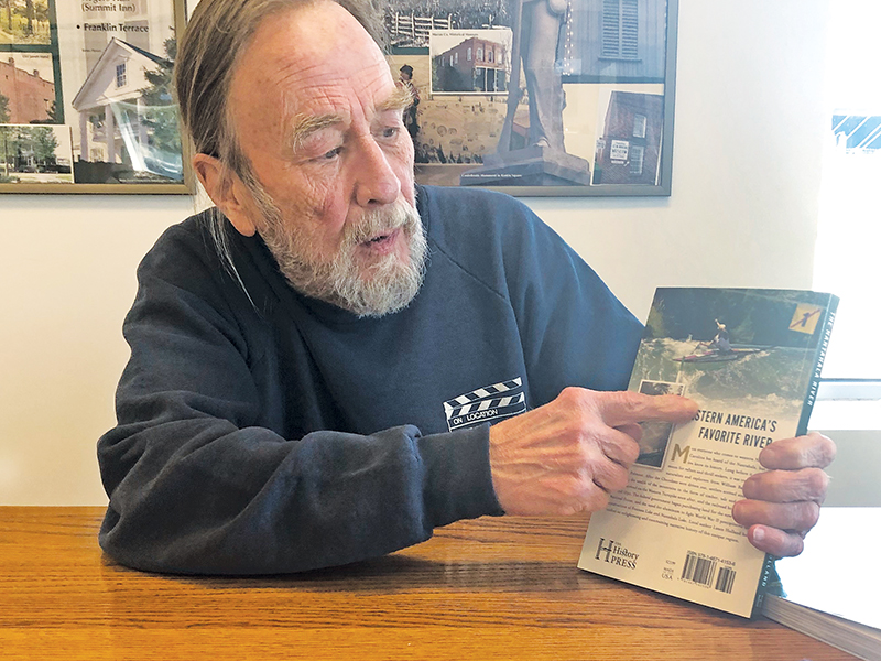
Lance Holland has lived and worked around the Nantahala River for 40 years, so he figured he knew pretty much everything there was to know about the area.
While researching his new book, The Nantahala River – a History and Guide, he learned otherwise.
“George Ellison and I produced a documentary film about it, and I wrote a book about the area just downstream,” Holland said. “I knew there were hidden gems, and I found them. I not only found stuff I didn’t know about, there’s things in there that nobody knew about.”
He found one of those gems on a map of the area created to expedite the forced removal of the Cherokees in 1838.
On previous maps, most of the Nantahala River basin was “terra incognita” – a blank hole with drawings of mountains to represent that area.
“Then with the removal of the Cherokee, a first-class map was needed,” Holland said. “It went from to a state-of-the-art map for the time.”
Holland got a big surprise as he studied the “newer” map. In the map’s title block, he saw a familiar name.
“Under a magnifying glass, I could see that it was John C. Fremont,” he said.
Fremont, the explorer best known for mapping the Oregon Trail with Kit Carson, had been dispatched by the Army to map the Nantahala area in order to force march the Indians through the area in what became known as the “Trail of Tears.”
Perhaps Holland’s favorite find is a photo of the river just below a splash dam right after it was dynamited. A splash dam was a temporary wooden dam used to raise the water level in order to float logs downstream.
Holland had access to maps and photos from Gennett Lumber Company. He discovered a photo taken by company founder Andrew Gennett in the seconds after a splash dam was blown up.
“Only somebody like Andrew Gennett could have gotten that photo,” he said. “When that dam was blown up, that rush of water that’s in the picture only lasted for two or three minutes, maybe 10 at most. That’s one of the most important historical pictures I’ve ever seen.”
Going Hollywood
Holland’s knowledge of Western North Carolina has paid off in unexpected ways, including a career in the film business.
“I had no desire to become part of the movie industry,” he said. “There are many, many people who do. I wasn’t one of them.”
Then director Michael Mann came calling, looking for someone to find locations for The Last of the Mohicans, based on the novel by James Fenimore Cooper set in 1756 during the war between the French and English. He had already decided to film in North Carolina.
“He needed a big, pristine lake to build the fort on,” Holland said. “On one of his first trips in, he flew over Fontana Lake, looked out the window and said, ‘Hey there’s a great lake with no houses or roads around it.’”
“At that time I was working at Fontana Village as special projects director,” he said. “I did a lot of government liaison work, leading trips up Hazel Creek. Mann send his location guy out, and he did what I did later when I went to an area I wasn’t familiar with – he found somebody that was.”
When he was hired to work on the film, he thought he was going to act as a guide.
“Then I got my first paycheck, and under occupation it said ‘locations scout.’ I said, ‘That’s fine. I don’t know what that is, but it pays really well. I guess I am one.’”
Holland’s other film credits include The Fugitive (shot partially at Fontana Dam), Leatherheads, Nell and Songcatcher.
He was also location manager for the stunt unit filming the Dukes of Hazzard movie in Baton Rouge, Louisiana.
“So I know how to fly a car over a building,” Holland said.
The book is available on Amazon or at Appalachian Mercantile in Bryson City.